MapQuest adds camera layer to track Flock Safety and other readers

MapQuest has introduced a new optional map layer to its navigation application that displays the locations of known automated license plate readers. The feature specifically plots devices manufactured by Flock Safety alongside hardware from other vendors, providing drivers with direct visibility into where these surveillance tools are deployed along their routes. This update arrives amid mounting public backlash and growing privacy concerns regarding the rapid expansion of automated tracking infrastructure across public roadways.
Automated license plate reader networks have steadily expanded across municipalities nationwide in recent years, deployed by both law enforcement agencies and private entities to capture and log vehicle data. While proponents argue that these systems assist in recovering stolen vehicles and solving crimes, critics and privacy advocates have raised alarms over the continuous tracking of everyday citizens. The aggregation and storage of vast amounts of travel data have turned these cameras into a central flashpoint in broader debates surrounding digital surveillance and civil liberties.
For the broader technology and transportation sectors, this development highlights a growing consumer demand for transparency regarding physical surveillance infrastructure. As digital mapping tools increasingly incorporate data layers that go beyond traditional traffic and routing information, platforms are finding themselves navigating the complex intersection of public safety, data privacy, and user empowerment. How navigation services handle this type of contextual data could influence future product offerings across the mapping industry.
Reactions from privacy advocates and digital rights groups have focused on the shifting balance between municipal monitoring and individual awareness. Observers note that integrating surveillance locations into consumer applications reflects a broader societal pushback against ubiquitous data collection. As visibility into these networks improves through mainstream consumer tools, public discourse surrounding the regulation and oversight of automated readers is likely to intensify.
Looking ahead, the inclusion of surveillance mapping features in mainstream navigation apps may prompt other major mapping providers to consider similar transparency measures. As regulators face ongoing pressure to address community concerns about data retention and camera placement, the utility of crowd-sourced and mapped infrastructure data will remain a significant point of discussion for both users and developers.

CoinMagnetic Team
Crypto investors since 2017. We trade with our own money and test every exchange ourselves.
Updated: October 2026
From our insights:
Related news

Citrini points to real-world asset tokenization as the next major financial shift
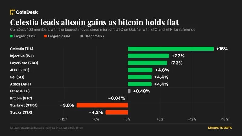
Celestia climbs 16 percent as alternative tokens outperform a flat bitcoin
Starknet initiates vote on exploring independent Layer 1 to counter quantum risks

STRK holders vote on Starknet leaving Ethereum to mitigate quantum risks
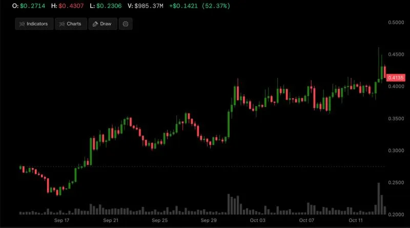
Stacks layer-2 token rallies 50% over four-week trading window